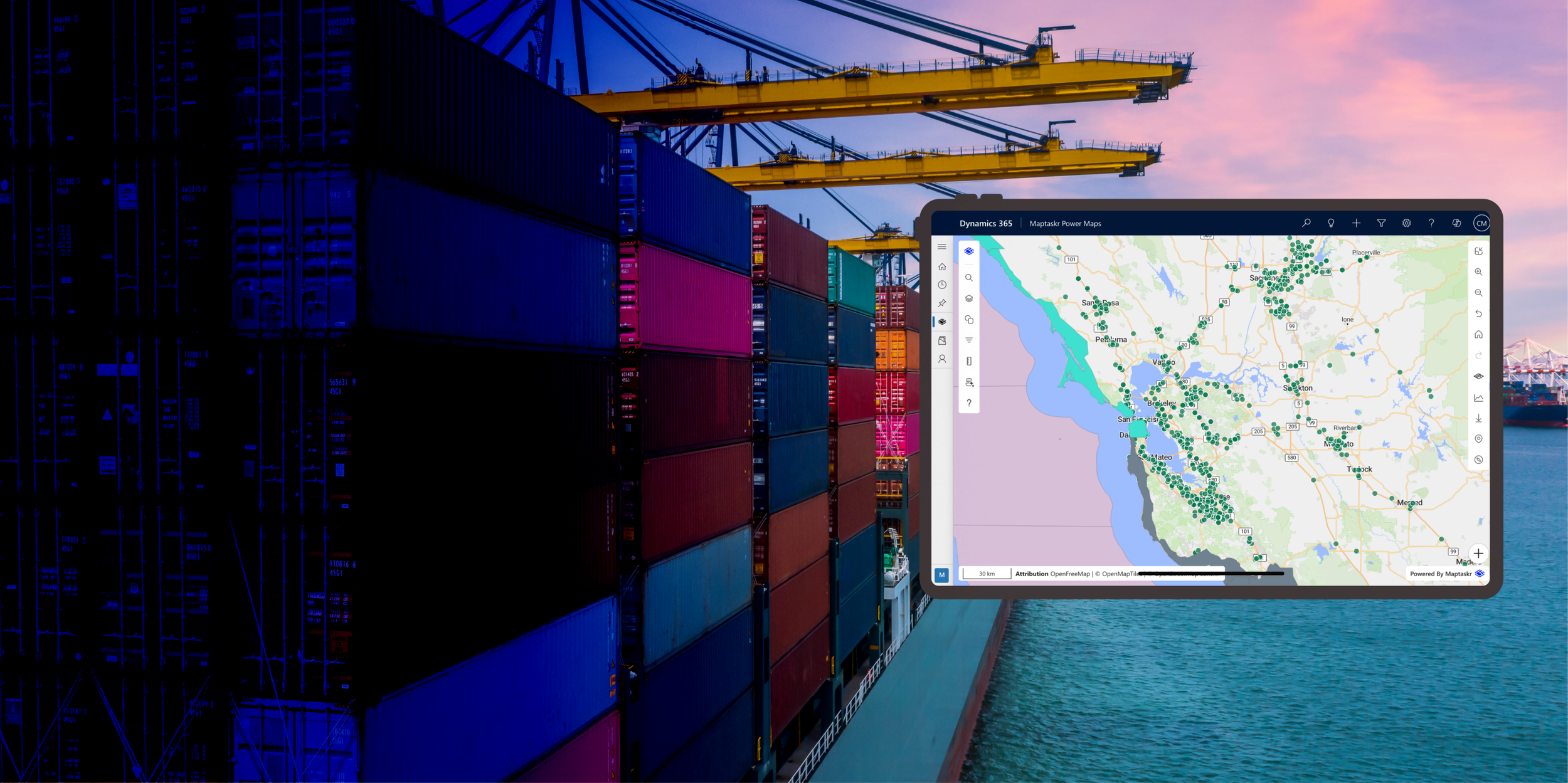
Maptaskr for Dynamics 365
& Power Apps

Discover the Full Potential of Your Data with Maptaskr for Dynamics 365 and Power Apps


Maptaskr is more than a mapping tool - it's a productivity solution that enables you to amalgamate various data streams, including real-time updates, into a singular, intuitive interface. Empower your organization to take insightful action with Maptaskr for Dynamics 365 and Power Apps, and drive growth through strategic and informed business operations.

Maptaskr for Dynamics 365 and Power Apps are the ultimate geospatial productivity tool that seamlessly integrates advanced mapping and location intelligence right into your Microsoft ecosystem. This solution is tailor-made for organizations seeking to infuse a spatial context into their business data, enhancing processes across sales, customer service, and field services

In the era of data-driven decision-making, Maptaskr stands as a beacon, offering enlightened insights by marrying your data with geographical context. It’s not just about viewing data; it’s about connecting the dots in real-time, ensuring your decisions are informed by a holistic view of your operations.

Quick and easy geocoding of your data


Up to 80% of your business data contains a location component to it and geocoding is the method that allows you to unlock hidden insight. Geocoding your data enables you to take an address and convert it to a latitude/longitude coordinate meaning you can quickly render this information on a map.

Visualise Your data


Maptaskr transforms complex datasets into intuitive, interactive maps, allowing businesses to see their data in a geographical context. Users can apply filters to visualize trends and gain immediate insights into sales, service, and operational landscapes. This spatial understanding facilitates strategic planning and fosters a more data-driven approach to decision-making.

Make Informed Decisions


Maptaskr's mapping technology equips businesses with the spatial analysis tools needed to make informed decisions, drawing actionable insights from visualized data. By overlaying CRM information on geographical maps, it illuminates trends and patterns that drive smarter, strategic business choices. This level of decision-making precision enhances efficiency and effectiveness across sales, marketing, and service delivery.


Take Insightful Action


Maptaskr empowers businesses to take insightful action by synthesizing geospatial data and insights into one coherent map-based view. This convergence facilitates strategic decisions, allowing for swift action based on a comprehensive understanding of data trends and geographic intelligence. By leveraging Maptaskr, businesses can confidently navigate operational challenges and capitalize on opportunities with geographically-informed solutions.

Accounts near me’


With our 'Accounts Near Me' feature, instantly view all customers, leads, and prospects within your vicinity. This real-time radius search provides a snapshot of your local business landscape, enabling swift trip planning and daily scheduling. Simply choose the accounts you want to engage with and trust Maptaskr to streamline your journey with optimized routing.

Route Optimisation for quicker journeys


Plan efficiently with route optimisation allowing you to spend more time doing and less time travelling. Maptaskr is designed to take the guesswork out of planning travel, whether you’re managing a fleet or making service calls.

It’s not just about getting from A to B; it’s about finding the most optimal path that saves time and enhances productivity. With Maptaskr, you can ensure that every trip is the quickest it can be, letting you focus on the destination, not the journey.

Create and manage territories


Maptaskr offers a sophisticated territory management tool that revolutionizes how businesses define, create, and manage market areas. With our intuitive platform, you can effortlessly draw and adjust territories on the map, aligning them with real-world demographics, sales data, and performance metrics. Whether optimizing sales regions, planning service coverage, or customizing marketing campaigns, Maptaskr gives you the power to strategically allocate resources and ensure that your team's efforts are focused where they matter most.

1-Click actions


Maptaskr enhances efficiency with 1-Click Actions, allowing you to effortlessly create new records or initiate custom workflows directly from the map interface. This feature is designed to transform your map into an interactive tool, where a single click can set complex processes in motion, ensuring a seamless integration of mapping and operational productivity. Whether it's updating customer details or deploying task assignments, Maptaskr's 1-Click Actions simplify your workflow for a more responsive and agile business experience.

Trigger bulk actions from within the data tab


With Maptaskr, visualize your data in a geographic context and effortlessly initiate bulk actions straight from the data tab. This functionality allows for mass updates and actions across multiple records, streamlining processes and amplifying productivity directly from the map. Simplify your operations by combining spatial insights with powerful data management in just a few clicks.See your data on the map then trigger bulk actions from the data tab.

Create geofences around key assets


Geofences allow you to set rules based on specific areas. Show hazard areas or key high-value assets by surrounding them in a geofence.

In-depth query builder


Maptaskr's Query Builder helps to explore and dissect your data with precision. Craft detailed queries swiftly and visualize the outcomes on the map for immediate, actionable insights. This tool is designed to bring complex data analysis to your fingertips, enhancing the way you interact with and understand your data geographically.

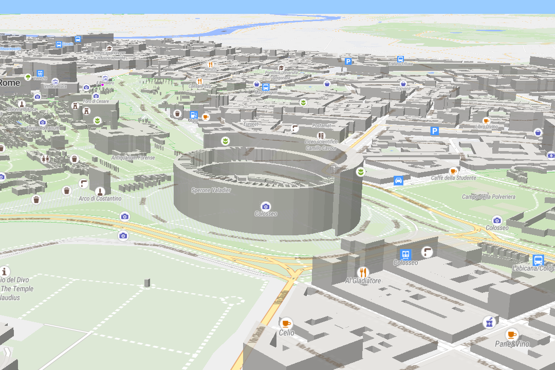
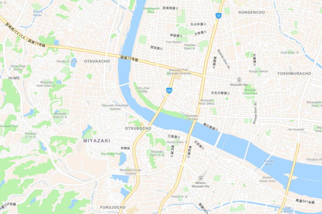
Import multiple mapping layers


Bring in third-party mapping layers to enhance your business data. Maptaskr is OGC-compliant meaning you can bring in many different file formats including ArcGIS formats.

Measure areas and annotate on the map


Maptaskr empowers you to measure spaces and add notes to your maps with ease. Effortlessly save your annotated maps and collaborate by sharing them with colleagues. The tool simplifies spatial analysis and communication, ensuring that valuable geographic insights are just a few clicks away.

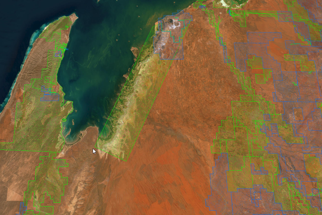
See satellite and aerial data combined with your data


With a few simple clicks you can overlay live satellite information onto your data to get in-depth insights as to what is happening on the ground.

See real-time map layer data combined with your business data


See internal and external live map layers displayed with your business data (e.g. bring in live weather data and see which of your customers are affected).