
Product
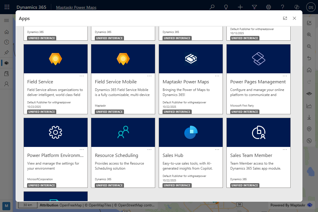
Built natively for Dynamics 365 and the Power Platform, Maptaskr Power Maps extends Microsoft Business Applications with advanced mapping, spatial analysis, and GIS integration — delivering a unified, data-driven experience.

What is Maptaskr Power Maps?
Geospatial Power within your Business Applications
Maptaskr Power Maps is the geospatial productivity solution for Microsoft Power Platform — spanning Power Apps, Dynamics 365, and Power Pages. Built natively, it unifies business and location data in a single, map-driven interface that enables teams to visualize, analyze, and act with confidence.
From dispatching field workers to managing assets, tracking stakeholders, or coordinating sales territories, Power Maps enables organizations to deliver faster, smarter outcomes — online or offline, all within their Microsoft environment.

What Makes Maptaskr Power Maps Different?
Seamless, rich with advanced geospatial capabilities, and designed for business users — it’s unlike any other mapping solution. With vast and flexible configuration options, it adapts to the needs of any industry, market, or business need.
Geospatial Productivity for the Microsoft Power Platform

Visualize, interact with, and act on your business data directly within a map-driven interface.
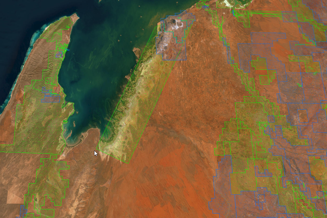
Unify Dataverse, Esri ArcGIS, and other GIS data for a single source of truth across your organization, safely and securely.

Search and filter across Dataverse, Esri ArcGIS, and enterprise systems in real time to surface insights instantly.

Enable field teams to work without connectivity, with offline access and automatic sync when reconnected.
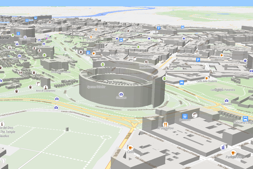
See terrain, assets, and infrastructure in 3D — bringing clarity and context to every decision.

Easily create, edit, and style maps with flexible tools designed for any use case.

Style layers dynamically based on attributes — use colors, symbols, or heatmaps to highlight what matters most.
Support global teams with maps in multiple languages — ensuring seamless adoption worldwide.
Industry-ready accelerators tailored for Microsoft Business Applications help you go live faster and achieve results sooner.
Want to explore More?
Real-World Solutions for Every Team
Whether you’re in the field, managing customer relationships, or delivering digital services, Maptaskr Power Maps offers ready-made, Microsoft-aligned solutions designed to enhance how your organisation works.

Field Operations
Locate assets, job sites, and boundaries with precision. Optimize work order allocation, routing, and dispatch using real-time and offline maps to keep teams productive and connected anywhere.

Sales Management
Gain a unified view of customers, territories, and opportunities. Optimize travel and resource allocation while uncovering insights that drive faster, more informed sales decisions within Dynamics 365.

Customer Engagement
Support land use, infrastructure, and urban planning with geospatial insight. Deliver public-facing portals for application submissions, stakeholder engagement, and transparent decision-making.